Multi-constellation positioning
GPS, BeiDou, GLONASS, Galileo and QZSS pathways give ATLAS a stronger positioning foundation for outdoor sport and travel.
 Start Smart Quote
NORDVIK · Rugged Precision Watches
A mapping-led NORDVIK outdoor watch for hiking, running, cycling, swimming and mixed adventure use. ATLAS combines a 1.43-inch AMOLED display, multi-constellation GNSS, downloadable offline maps, route return, compass, barometer, altimeter, 5ATM water-resistance pathway, Bluetooth calling and more than 170 sports modes in a metal-case outdoor format.
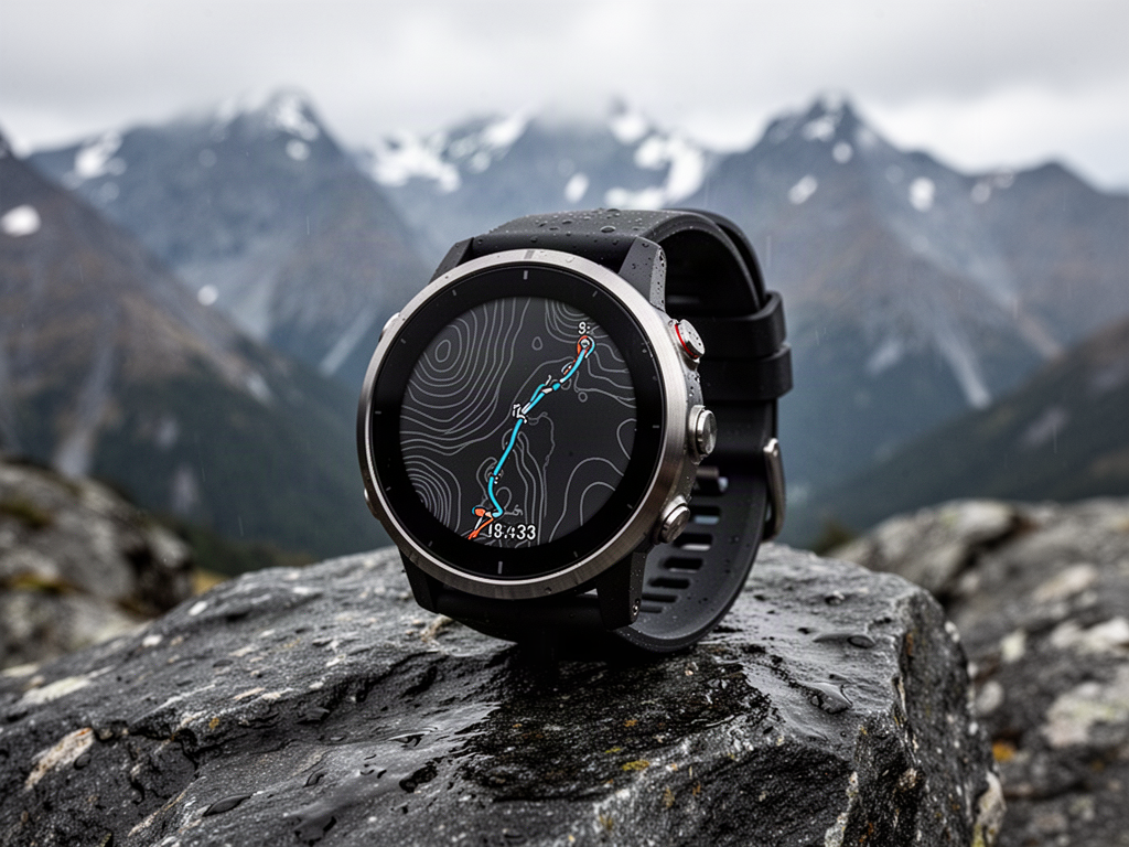 Representative NORDVIK brand visual. Final case, screen graphics, strap, firmware, water rating, certifications and production configuration are confirmed against the approved batch before supply.
Technical overview
The supplied technical sheet supports the specification pathway below. Apollo treats water resistance, certification and sensor claims as batch-specific until the final production sample and documentary pack are checked. Health and wellness functions are recreational only and are not presented as medical measurements.
No pricing is displayed online. ATLAS is a NORDVIK OEM/private-label pathway. Supplier and factory identities, internal sourcing references, sourcing prices and sourcing links remain internal. Final branding, firmware, app compatibility, GNSS behaviour, maps, battery runtime, 5ATM documentation, certifications, accessories and warranty are verified before quotation and supply.
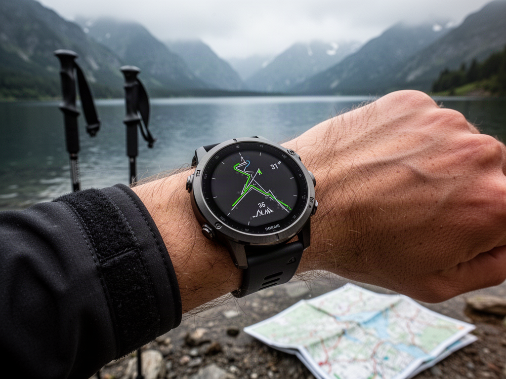
Offline mapping + route return
ATLAS gives the range a more mapping-focused role. SUMMIT remains the connected everyday adventure model with the larger battery; TRAVERSE stays waypoint, fishing and mixed remote-recreation focused; ATLAS concentrates on offline maps, route return, multi-GNSS positioning, 5ATM water use and a much broader training-mode library.
NORDVIK ATLAS
These images establish the NORDVIK presentation direction only. Final branded production photography, screen interface, colours and case geometry are confirmed after sample approval.
Project fit
GPS, BeiDou, GLONASS, Galileo and QZSS pathways give ATLAS a stronger positioning foundation for outdoor sport and travel.
Selected-area map transfer and on-watch route display make ATLAS the most explicitly mapping-led watch in the current NORDVIK range.
Route-return and straight-line-return functions add a practical recovery layer for supported hikes, runs and rides.
The supplied technical pack includes a 5ATM waterproof test-report pathway, making ATLAS suitable for a broader water-use role once the exact final documentation is verified.
A wide sport library supports running, cycling, swimming, triathlon, mountaineering and general training without moving the range into fashion-smartwatch territory.
The supplied technical sheet is unusually detailed, including component references, battery data, sensor models and a listed certification pack. Apollo still locks every public claim to the final approved production batch.
Product status
Configuration, technical evidence, interfaces, exposure or destination requirements need product-specific review before the final supply package is confirmed.
Status signals describe Apollo's current product record and project pathway. They do not replace project-specific engineering, testing, local approvals or destination compliance review.
Connected project pathway
Curated recreational families across Ride, X, Water, Snow, Gear and specialist Boards, with products added only after specification and support review.
Open pathway Knowledge ownerAdventure Sports Knowledge CentreControlled guidance for the live technical-gear pathways: GPS watches, handheld navigation, diving watches and documented dive computers.
Open pathway ExposureClimate Exposure SelectorCheck salt, UV, rain, heat and other environmental conditions that can affect outdoor technical-gear selection, care and use.
Open pathway TechnicalTechnical & Specifier CentreUse current product evidence, controlled technical information and professional project resources.
Open pathway Project pathwayStart Smart QuoteSend the intended Adventure Sports product, activity, destination and project information for manual review.
Open pathwayComplete the project
Add handheld navigation for route, waypoint and track-based outdoor use.
Another navigation & gps pathway worth comparing for the same project territory.
Another navigation & gps pathway worth comparing for the same project territory.
Another navigation & gps pathway worth comparing for the same project territory.
Another navigation & gps pathway worth comparing for the same project territory.
Related discovery is a catalogue recommendation, not a statement of technical compatibility. Final interfaces and project requirements are reviewed separately.
Need the right configuration?